Google Earth
The current map shows
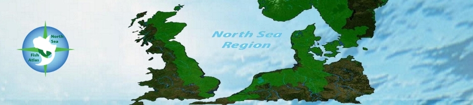
- major rivers and tributaries in Europe (blue line) around the North Sea Region (NSR - UK (England and Scotland), Belgium, Denmark, Germany, the Netherlands, Norway, and Sweden)
- major lakes (blue solid shading)
- river basin districts (RBDs) (pale green solid shading).
Use the Google Earth (GE) navigation tools on the right hand side of the GE window to Zoom In/Out, Pan, and tilt to see the datasets in more detail.
The current level of query (point and click on one of the map objects e.g. river, RBD) only reveals basic information e.g. Lake, River, RBD name.
Click Here for Google Earth KML file to display in Google Earth