WebGIS
A web-based Geographical Information System (GIS) is a online tool to represent spatial information over the internet. It allows the public, government, education and commercial organizations to access spatial information with added functionality to pan, zoom and query the information in the form of an interactive map. Using the GIS portal people can easily access maps related to fish species distribution, migration, river barriers and migratory patterns for the North Sea region.
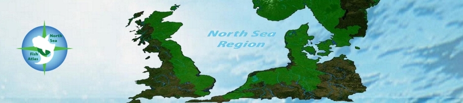
WebGIS for the Living North Sea
This WebGIS is an ongoing element our work.
Datasets provided by the partners of the project are currently being prepared to input to the WebGIS.
The WebGIS is a tool to share knowledge between countries and sectors, on fish populations and migratory fish routes using interactive maps. It can act as a source for both data and information for teaching, education, and research and provides public and policy-makers with access to electronic map-based information as a resource for planning and decision making.
To access the web-based GIS maps, please click on the following links:
- Fish Nurseries
- Spawning sites in the North Sea Region
- River obstructions in England and Netherlands
- Fish Tracking Animation on River Tweed
Historical Population of fish species in North Sea River Basin Districts
- Problem Location for fish migration in NSR
- Good practice examples for the fish migration in NSR
- Species Distribution in North Sea Region
----------------------------------------------------------------------------------
Click Here for Google Earth Map Viewer
Click Here for ArcGIS Server